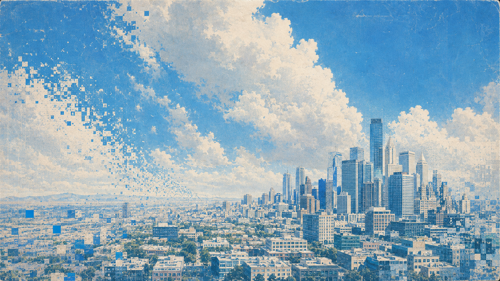
Geospatial Data for Predictive Intelligence
Empower your AI to uncover trends, analyze behaviors, and predict future movements with precision using Stardust's data generation platform.
Trusted by the world’s most demanding teams across land, air, sea and space


Pixel-Perfect Labels & Scenario Metadata
Move beyond basic 2D boxes with precise segmentation and rich metadata, helping your AI gain deeper scenario understanding, with no manual labeling required.
Build Robust Geospatial AI in Record Time
Rapidly Adapt to New Tasks
Handle new objects and tasks faster than ever. Rapidly adapt your AI to changing conditions, objectives and tasks. Automate the creation of datasets utilizing thousands of physically accurate 3D assets across diverse landscapes and environments.
Create Temporal Site Monitoring Scenarios
Swiftly generate scenarios that align with the exact conditions and performance standards required for your model to excel in production.
Stress Test Your AI Systems
Catch failures before they happen with full-spectrum testing across crucial conditions. Simulate countless scenarios to ensure each model iteration and update passes all tests.
Advanced Sensor Emulation
We offer pre-built sensor emulations for satellites including WorldView-3, Legion 06, and SkySat. Have a custom sensor? Our domain adaptation pipeline makes it easy to create and calibrate new sensors.
Fix Class Imbalances
Dealing with uneven image distribution across multiple classes or missing rare objects? We make it easy to generate diverse, randomized imagery to rebalance your dataset and strengthen your model's performance.
Unlock Cost-Effective, Scalable AI Development
Save up to 50% of data-related costs. Scale to hundreds of fine-grained classes without having to worry about exploding data budgets.
A domain adaptation pipeline calibrates new sensors to match your imagery. Coherent SAR is in development with NTT Data.
How is synthetic satellite imagery generated?
Stardust renders physically accurate 3D scenes from orbit with the optics and resolution of the target satellite, or composites synthetic objects onto real overhead backplates, with every object labeled.
Which satellite sensors can Stardust emulate?
Pre-built emulations include WorldView-3, Legion 06 and SkySat, and a domain adaptation pipeline calibrates custom sensors.
Can synthetic data fix class imbalance in geospatial datasets?
Yes. Generate more examples of rare objects and classes on demand, across landscapes and conditions, to rebalance the training set.
Unlock Unlimited Geospatial Datasets
See Stardust generate a dataset for your sensor, sites and target classes.
Book a demo HOW STARDUST WORKS →